Land Surveying and Engineering Surveying Services
Protect your land investments across Trinidad and Tobago. We provide cadastral, topographical, and engineering surveys combined with drone-based spatial data capture to eliminate boundary disputes and confirm exact property dimensions before purchase.
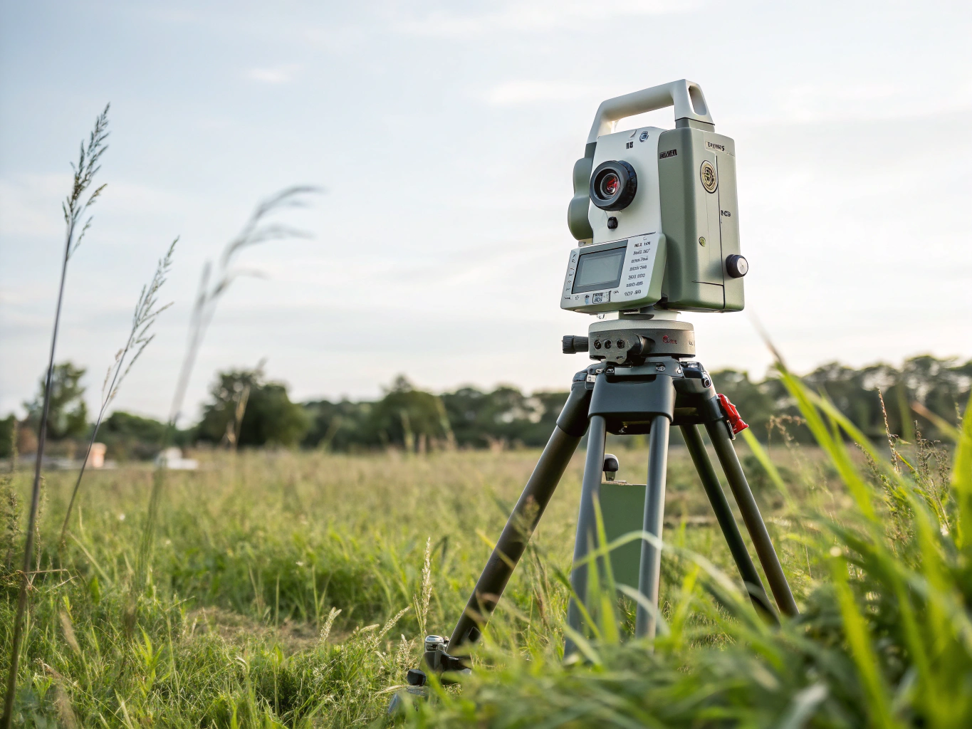
Verify acreage, legal boundaries, and topographic contours prior to land acquisition.
Our Surveying Specialties
We provide precise land and engineering surveying across Trinidad and Tobago. Our services include verifying boundaries, establishing accurate site levels, land subdivision, Town & Country Planning Division Applications for Land development and delivering reliable spatial data to prevent costly property disputes.
Boundary Protection
Verify boundaries before purchase
Key Deliverables
- Certified Cadastral Survey Plan
- Boundary marker and beacon placement
- Title deed boundary verification
- Encroachment assessment report
Key Deliverables
- Digital contour & elevation model
- Drainage & tree location mapping
- Existing utility and road tie-ins
- CAD-ready 3D DWG/DXF surface files
Key Deliverables
- Gridline & structural setting-out
- Verticality & level control reports
- As-built dimensional verification
- Cut and fill volume calculations
Key Deliverables
- Aerial orthophotos
- Dense 3D point clouds & mesh
- Volumetric stockpile
- GIS-ready geospatial raster layers
Need assistance determining which survey type fits your land parcel?
Our survey team can review your property details or title documents and advise on the appropriate field workflow.
Minimizing Boundary Disputes Before You Build or Buy
Accurate land surveying provides conclusive proof of property limits, safeguarding your capital investment in Trinidad and Tobago against encroachments, acreage discrepancies, and costly neighbor disputes.
- Recovery and re-establishment of lost boundary iron markers
- Precise offset reporting for boundary walls and fences
- Conclusive demarcation that holds up under legal scrutiny
- Reconciliation of historic deed dimensions with ground reality
- Cadastral survey plans prepared for statutory approvals
- Protection against encroachment-based title clouds
- Grid coordinate attribution on all boundary nodes
- Reliable spatial referencing impervious to physical iron removal
- Seamless integration with statutory GIS mapping frameworks
- Independent verification of marketed parcel acreage
- Identification of unrecorded structural or access encroachments
- Clear topographical risk insights prior to financial closing
Planning a Land Purchase or Development in Trinidad and Tobago?
Get an accurate boundary verification survey before finalizing contracts or commencing site work.
Our Precision Surveying Process
From preliminary deed research to field measurement and certified plan drafting, our structured geomatics process ensures exact boundaries, protects property value, and prevents boundary disputes.
We examine existing title deeds, cadastral sheets, and surrounding parcel records in Trinidad and Tobago to identify reference marks and historical boundaries prior to deployment.
Our survey team establishes on-site base stations, captures boundary markers using optical total stations and GNSS receivers, and conducts aerial drone flights for spatial coverage.
Collected spatial data undergoes rigorous traverse adjustments, parcel area calculations, and boundary closure tests to ensure zero-tolerance accuracy and eliminate discrepancies.
We prepare signed, certified cadastral survey plans ready for purchase verification, development permitting, legal conveyance, or civil engineering site integration.
Rigorous field standards tailored for Trinidad and Tobago
Every measurement is tied to authoritative spatial benchmarks to protect your property investments before purchase, financing, or construction.
Verify Your Property Boundaries Before You Buy or Build
Prevent costly legal disputes and protect your capital investment. Land Surveying and Engineering Surveying Services confirms parcel dimensions, boundary markers, and accurate terrain topography across Trinidad and Tobago.
Official Cadastral Ground Truth
Conclusive identification of survey iron pins, boundary lines, and acreage before land transaction closing.
Rapid Field Turnaround
Fast field deployment across Trinidad and Tobago with expedited delivery of certified boundary plans.
High-Precision Geomatics
Integrated optical total stations, RTK GNSS receivers, and aerial drone spatial data capture.
Coverage Area
Trinidad & Tobago Nationwide
Survey Standards
Certified Cadastral & Engineering
Direct Dispatch
Monday – Sunday: 8:00 AM – 5:00PM
Have urgent questions or immediate boundary disputes? Email: surveylandfocusserviceslimited@yahoo.com or start a direct consultation via our inquiry form.